
We are Sakurare
Specialized drone aerial service providers for profitable development.
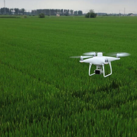
AGRICULTURAL PRODUCTION
We facilitate data collection and map generation of farm fields for technical advising, optimizing quality and reducing production costs.
Topography and Engineering
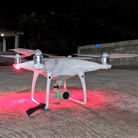
We generate advantages via processors, software and GPS technology for Civil Engineering such as construction site inspections, topographic surveys, maintenance of infrastructures, and others.
Real Estate Visual Support
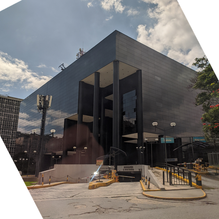
We provide the best aerial imagery and video service as visual support for real estate companies in sales of land, buildings (commercial, residential or business), houses and others.
We are at the height
of your needs!

Caracas, Chacao municipality, Miranda state.
© 2021 Sakurare. All rights reserved.